—— Geological Endowments and the Correlation of Urban Infrastructure in Sustaining Oahu’s “Ka Wai Ola” ——
1. Introduction: The “Water Imbalance” of an Island City
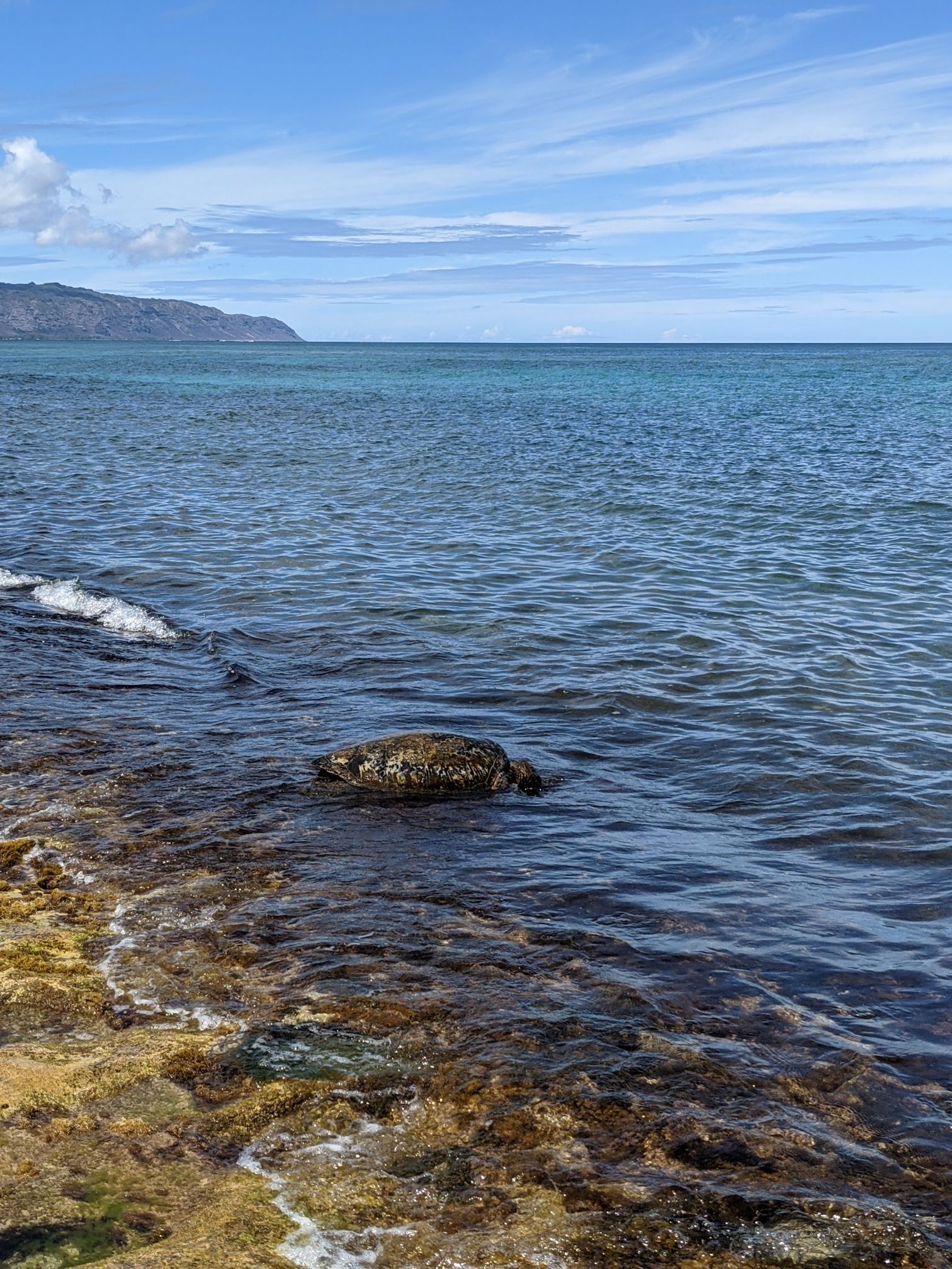
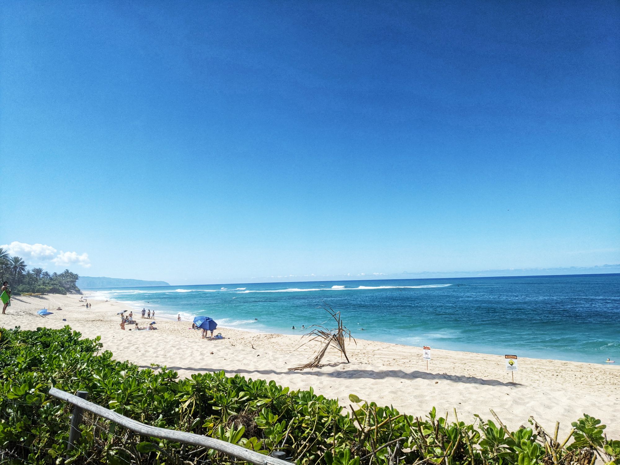
Oahu exists within an extreme microclimate, where annual rainfall varies from 500 mm in arid zones to over 7,000 mm in mountainous regions. Managing water resources for over one million residents and approximately 10 million annual tourists is more than a public utility; it is a “spatial redistribution” of resources essential for the island’s survival.
This report examines the mechanism of Oahu’s water sources, how 19th-century urban development reshaped water movement, and the modern social conflicts exemplified by the “Red Hill” crisis.
2. The Source: Geological Mechanisms and Timelines
Approximately 99% of Oahu’s domestic water supply is derived from groundwater. This is one of the highest dependency rates among major U.S. cities.
- A 20-Year Filtration Process:Rainfall on the Koʻolau Mountains permeates highly porous basalt layers, naturally filtering out impurities. It takes approximately 20 to 30 years for surface water to reach the aquifer. Essentially, the water we drink today is a gift from a previous generation.
- Storage via Dikes:Vertical rock walls called “dikes,” formed by ancient volcanic activity, act as natural barriers that trap vast amounts of freshwater at high elevations within the mountains. This high-altitude storage allows water to be transported long distances via gravity.
- The Ghyben-Herzberg Lens:Beneath the island, a “freshwater lens” floats atop denser seawater due to the difference in specific gravity.Theoretically, for every 1 foot of freshwater above sea level, there are 40 feet of freshwater stored below sea level.However, excessive pumping thins this lens, leading to saltwater intrusion. This delicate balance is the primary economic and technical reason the Honolulu Board of Water Supply (BWS) enforces strict pumping limits.
3. History of Urban Infrastructure and Spatial Redistribution
The urban development of Oahu is a history of engineering designed to move water to “water-poor” regions.
- The Legacy of the Waiahole Tunnel:Completed in 1916, this tunnel was built to transport water from the rainy Windward side (East) to the arid sugarcane plantations of Central and West Oahu. This movement of water provided the foundation for today’s large-scale residential developments in Kapolei and Ewa.
- The Birth of the Board of Water Supply (BWS):In the 1920s, unregulated well drilling caused a rapid decline in groundwater levels. In response, the BWS was established in 1929 as an independent agency. This marked a pivotal shift in Oahu’s urban policy, redefining water from “private property” to a “Public Trust.”
- Wastewater and Environmental Economics:Today, Oahu operates eight major wastewater treatment plants. The Sand Island facility alone processes approximately 60 million gallons (227,000 m³) of wastewater daily, discharging it 3 km offshore at a depth of 70 m. This infrastructure is a strategic investment to protect coral reefs and maintain the “pristine ocean” asset that anchors the tourism economy.
4. Modern Crises and Social Friction
Modern water management is no longer just a technical challenge; it is a conflict of competing interests.
- The Red Hill Contamination and Governance:The leak from the Navy’s massive fuel storage facility (20 tanks holding 250 million gallons), built in the 1940s, contaminated a primary aquifer near Pearl Harbor.
- Conflict Structure: “National Defense (Federal)” vs. “Civilian Lifeline (Local).”
- Impact: The BWS was forced to shut down the Halawa Shaft, one of its major water sources, and continues to invest millions in securing alternative sources and monitoring contamination.
- Climate Change and the Limits of Flood Control:Sea levels are projected to rise by approximately 1 meter by 2100.
- The Problem of Backflow: Rising sea levels submerge drainage outfalls, causing seawater to flow backward into the city during heavy rains rather than allowing rainwater to drain out. Flood control projects around the Ala Wai Canal are now facing multi-billion dollar redesigns, shifting from simple levees to massive pumping stations and temporary reservoirs.
5. Conclusion: Toward a Sustainable “Modern Ahupuaʻa”
Oahu’s water resources are supported by a geological “miracle” and a century of infrastructural effort. However, this equilibrium is being threatened by climate change and unforeseen contamination risks.
Three pillars are essential for future urban planning:
- One Water: Integrating the management of stormwater, groundwater, and recycled water as a single resource.
- Expanding Green Infrastructure: Reducing asphalt and adopting urban designs that allow rainwater to permeate the ground and “recharge” the aquifer.
- Resource Allocation Based on Social Justice: Strengthening legal frameworks to ensure that water security is not sacrificed for military or economic expansion.
In the Hawaiian language, water is “Wai” and wealth is “Waiwai.” The ancient wisdom that the doubling (abundance) of water constitutes true wealth remains the ultimate truth for modern, scientific urban planning.
References (APA Style)
Board of Water Supply, City and County of Honolulu. (2022). Water Master Plan: Ensuring our water future. https://www.boardofwatersupply.com/
Lau, L. S., & Mink, J. F. (2006). Hydrology of the Hawaiian Islands. University of Hawaii Press.
Oki, D. S. (2005). Numerical simulation of the effects of ground-water withdrawal and rainfall reduction on the ground-water system of Central Oahu, Hawaii. U.S. Geological Survey (Scientific Investigations Report 2005-5013).
Suryanata, K., & Lowery, K. (2016). Whose water? Water rights and the politics of scale in Hawaiʻi. Water Alternatives, 9(3), 542-561.
Wilcox, C. (1996). Sugar water: Hawaii’s plantation ditches. University of Hawaii Press.
[Column] Oahu’s Water: The Illusion of Abundance and the Art of Design
Living in Hawaii, we often fall under the spell of a beautiful illusion: that water is an infinite, inexhaustible resource.
- Turn the tap, and pure, drinkable water flows instantly.
- Rain falls in gentle rhythms, nourishing the towering trees that define our landscape.
- Surrounded by such lush greenery, it is easy to forget that we live on an island with limited boundaries.
It is easy to mistake this abundance for a simple gift of nature. However, behind this “natural” convenience lies a surprisingly sophisticated and meticulously engineered management system.
1. The “Water Highway” That Built a City in the Desert
One of the most striking revelations is the development of areas like Ewa and Kapolei. By nature, these are arid regions with extremely low rainfall—lands that would normally be unsuitable for large-scale habitation. The reason they thrive today as “Second Cities” is the result of a highly advanced water grid that transports life from the rainy windward mountains, across valleys and plains, to the thirsty west side. It is a testament to human ingenuity and resilience.
2. A Natural Filter 20 Years in the Making
The water we use today is not the rain that fell yesterday. It is a gift from the past—rain that fell 20 to 30 years ago and has spent decades slowly percolating through volcanic basalt, a natural filtration process provided by the earth itself. Discovering how the Honolulu Board of Water Supply (BWS) manages the “freshwater lens”—a delicate layer of water deep underground—adjusting it gallon by gallon to prevent seawater intrusion, is nothing short of breathtaking. It is planning on a monumental time scale.
3. Human Resilience and the Spirit of “Ahupuaʻa”
Understanding the natural order and building the infrastructure to deliver what is missing to where it is needed reflects a profound human tenacity. Just as the ancient Hawaiians managed the “Ahupuaʻa” (the traditional land division from the mountain to the sea) as a single, sacred cycle, our modern water grid functions as a vast circulatory system connecting the island’s ecology to its urban pulse.
Closing Thoughts
The very fact that we can feel “water is abundant” is, in itself, the ultimate achievement of urban planning. The next time you turn on the tap, perhaps take a moment to reflect on the long journey that single drop has taken—and the incredible human wisdom that ensured it reached you.